Rather than photos, maybe you can use historical entity information in WL.
DateValue[Entity["HistoricalCountry", "ByzantineEmpire"][#], "Year"] & /@ {"StartDate", "EndDate"}
(* {395, 1453} *)
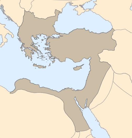
Empire and country borders in the year 500
GeoGraphics[{{Polygon[
    Dated[Entity["HistoricalCountry", "ByzantineEmpire"],
     DateObject[{500}]]]}},
 GeoBackground -> {"CountryBorders", DateObject[{500}]}]
You try using Table to generate a list of GeoGraphics for a range of years and Export them to AVI or GIF.