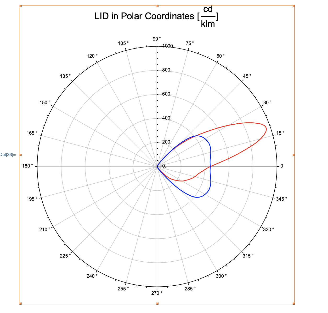
1) ListPolarPlot seems to choose a bad PlotRange in this case, particularly with the Interpolation option. You can workaround this with the PlotRange and PlotRangePadding options, i.e.
ListPolarPlot[{pairsC0C180, pairsC90C270}, PlotStyle -> {Red, Blue},
 Joined -> True, InterpolationOrder -> 2, PolarAxes -> True,
 Joined -> True, PolarGridLines -> True,
 PolarTicks -> {"Degrees", Automatic},
 PlotLabel -> HoldForm["LID in Polar Coordinates [cd/klm]"],
 LabelStyle -> {16, GrayLevel[0]}, AxesStyle -> Gray,
 AspectRatio -> Automatic, ImageSize -> Large,
 PlotRange -> All, PlotRangePadding -> Scaled[.08]]
I'll report this issue with our visualization team so that we can look to improve the functionality in a future release.
2) The ListSurfacePlot3D is trickier. Is it possible to obtain more points from your source data?


