Dear All,
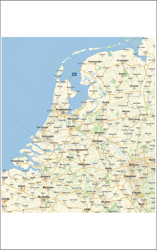
I would like to show some geo-graphics, but I'd like to create an image of some specific dimensions, so I tried:
GeoGraphics[Entity["Country", "Netherlands"], ImageSize -> {500, 800}]

This gives me a 500*500 square map, with 150 pixels white pixels on top and bottom. Is there an easy way to force this to be also a 'map' ?