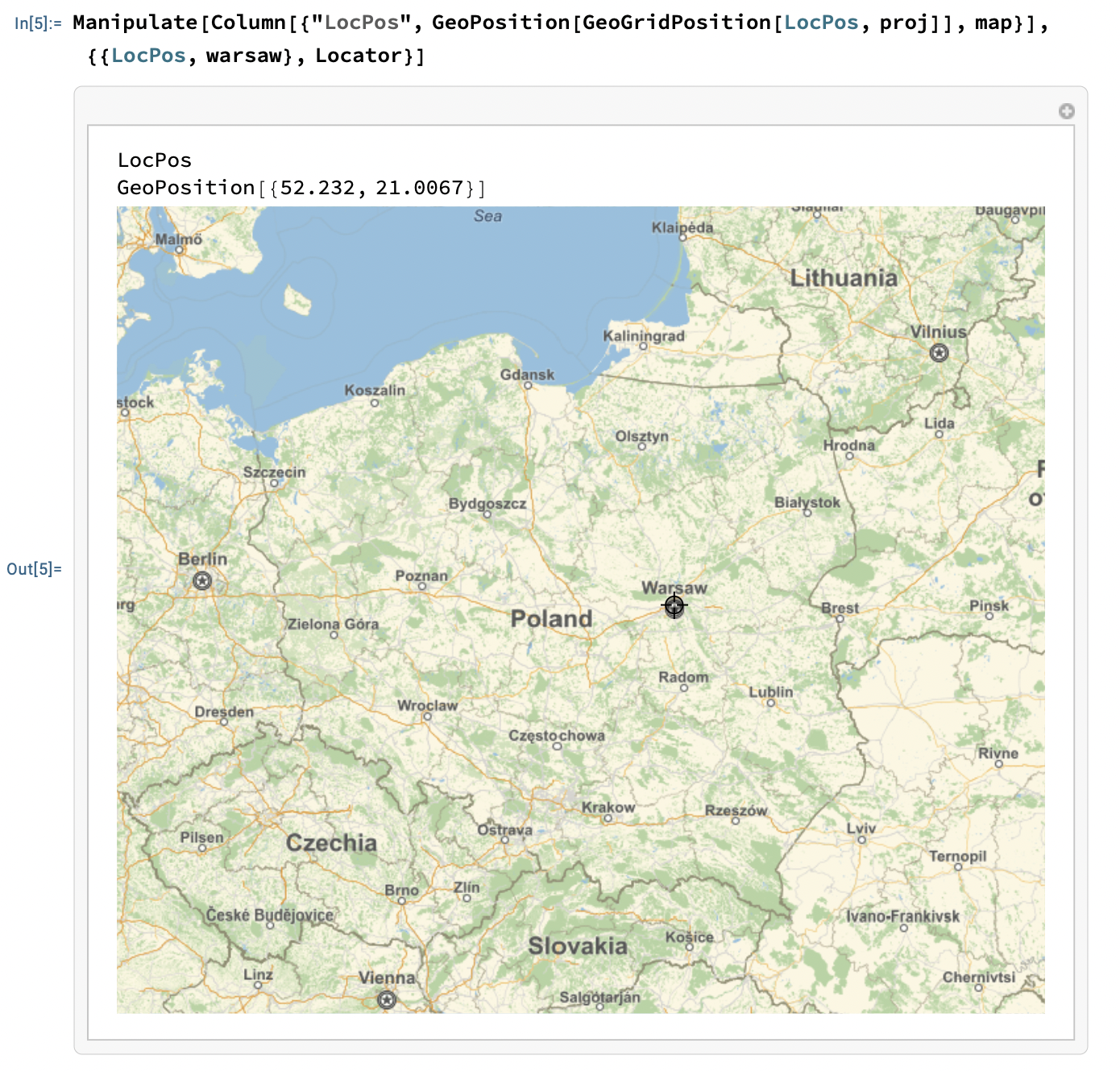
Hi, the problem here is the difference between geographic coordinates {lat, lon}, as taken by GeoPosition, and then the map projected coordinates {x, y}, as used by Graphics and the locator. We need to do this:
First construct the map of the region:
map = GeoGraphics[GeoRange -> {{48, 56}, {12, 27}}, GeoBackground -> "StreetMap", ImageSize -> Large];
See which projection it is using, in this case the "Mercator" projection:
In[2]:= proj = GeoProjection /. Options[map, GeoProjection]
Out[2]= "Mercator"
These are the geographic coordinates of Warsaw:
In[3]:= GeoPosition[Entity["City", {"Warsaw", "Mazowieckie", "Poland"}]]
Out[3]= GeoPosition[{52.232, 21.0067}]
and these are its projected coordinates in the "Mercator" projection:
In[4]:= warsaw = GeoGridPosition[%, proj]["GridXY"]
Out[4]= {21.0067, 61.4643}
Now we can construct the needed Manipulate:
Manipulate[Column[{"LocPos", GeoPosition[GeoGridPosition[LocPos, proj]], map}], {{LocPos, warsaw}, Locator}]