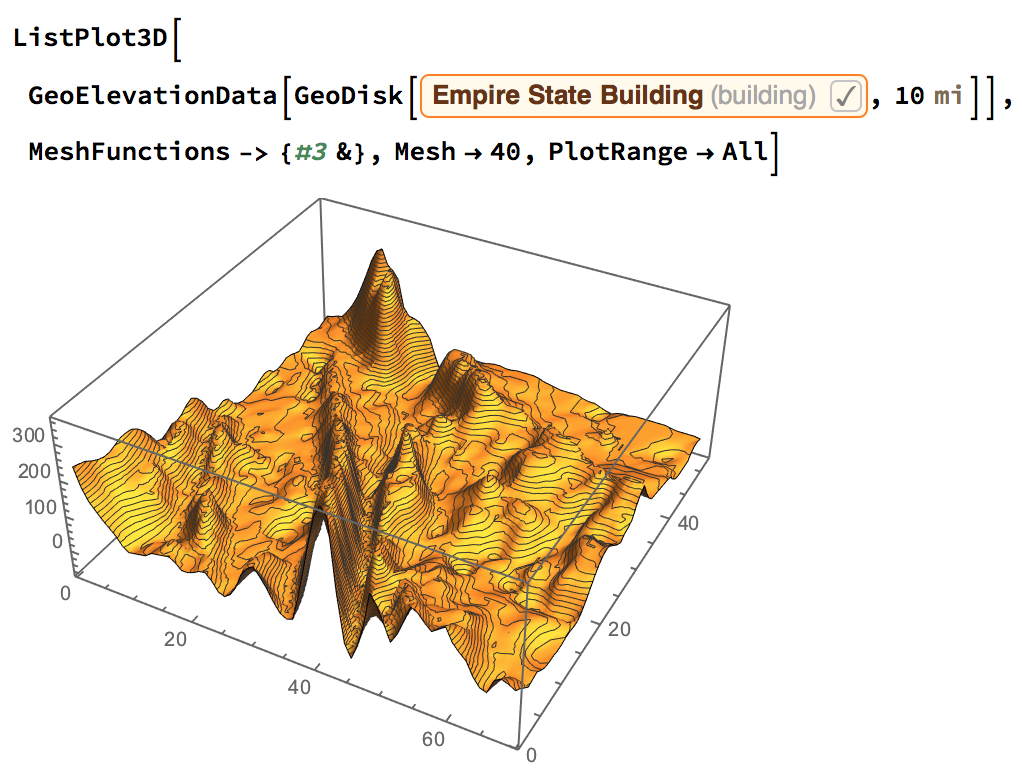
I have plotted elevation data of Empire State Building within 10 miles range. My question is, how do i mark the exact point in red dot indicating it as, Empire State Building by label, and, an arrow mark joining them?
ListPlot3D[
     GeoElevationData[
      GeoDisk[Entity["Building", "EmpireStateBuilding::h583b"],
       10 Quantity[1, "Miles"]]], MeshFunctions -> {#3 &}, Mesh -> 40,
     PlotRange -> All]
Output: 
Thanks in advance.