Group Abstract Group Abstract

Message Boards Message Boards

Show polygon of ESRI shp file on satellite image

Posted 2 years ago

Hi, I'm trying to show the outline of a NZ land title in shp format on a satellite image.
I can import the shp file but i can't see how to show just the edge of the titles.

imported shp file

I thought it would be something like

GeoGraphics[titles, FaceForm[ Opacity[1.] ], EdgeForm[{Red, Thick}], Background -> "Satellite"]

but that just comes up error.
Any help appreciated, there doesn't seem to be a gentle introduction to GIS with Mathematica.

POSTED BY: Joe Gamman
3 Replies
Posted 2 years ago

Thanks, i got the GIS guy at work to generate a shp file that is OK to post to a public forum - the title surrounding Taranaki, a beautiful mountain in NZ.

The upload wouldn't accept a .zip or the .shx component of the shapefile triplet - i don't think the two i've attached are usable without it.

shapefile = Import["/Users/admin/Documents/Taranaki shp.shp"]

works fine enter image description here

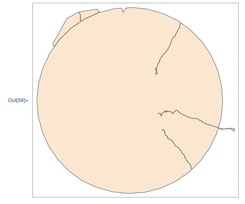
GeoGraphics[GeoPolygon[shapefile]]

fails: GeoPolygon is not a Graphics primitive or directive.

I've tried everything suggested from ChatGPT3.5 and they all fail. I'm using mma v12.1.1.0

Weirdly, even the non-shapefile suggestion by Arnoud Buzing failed - all I got was a street map image of Auckland: GeoPolygon is not a Graphics primitive or directive.

Reply to this discussion
Community posts can be styled and formatted using the Markdown syntax.
Reply Preview
Attachments
Remove
or Discard
Be respectful. Review our Community Guidelines to understand your role and responsibilities. Community Terms of Use