Together with Björn Schelter I have tried to read in data from the personal weather station Netatmo
which, as it turns out, is a very good companion for Mathematica; it also features in the connected devices list of Wolfram.This device measures temperature, humidity, pressure, noise level and potentially the precipitation indoors and outdoors. Users are encouraged to share the outdoors data; as the weather station is rather popular there are lots of measurements. On their website https://www.netatmo.com/ the company makes these measurements available. You can represent worldwide data
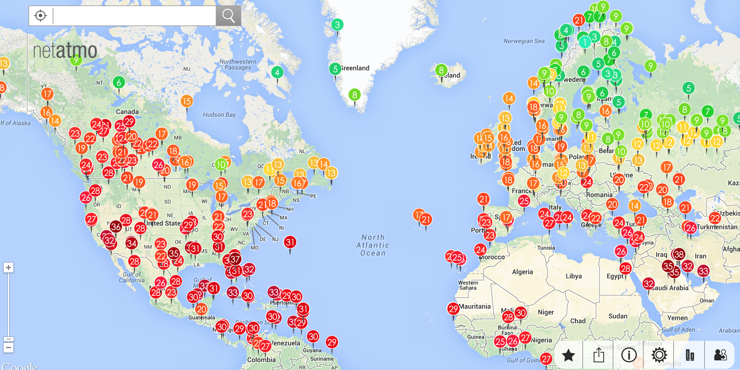
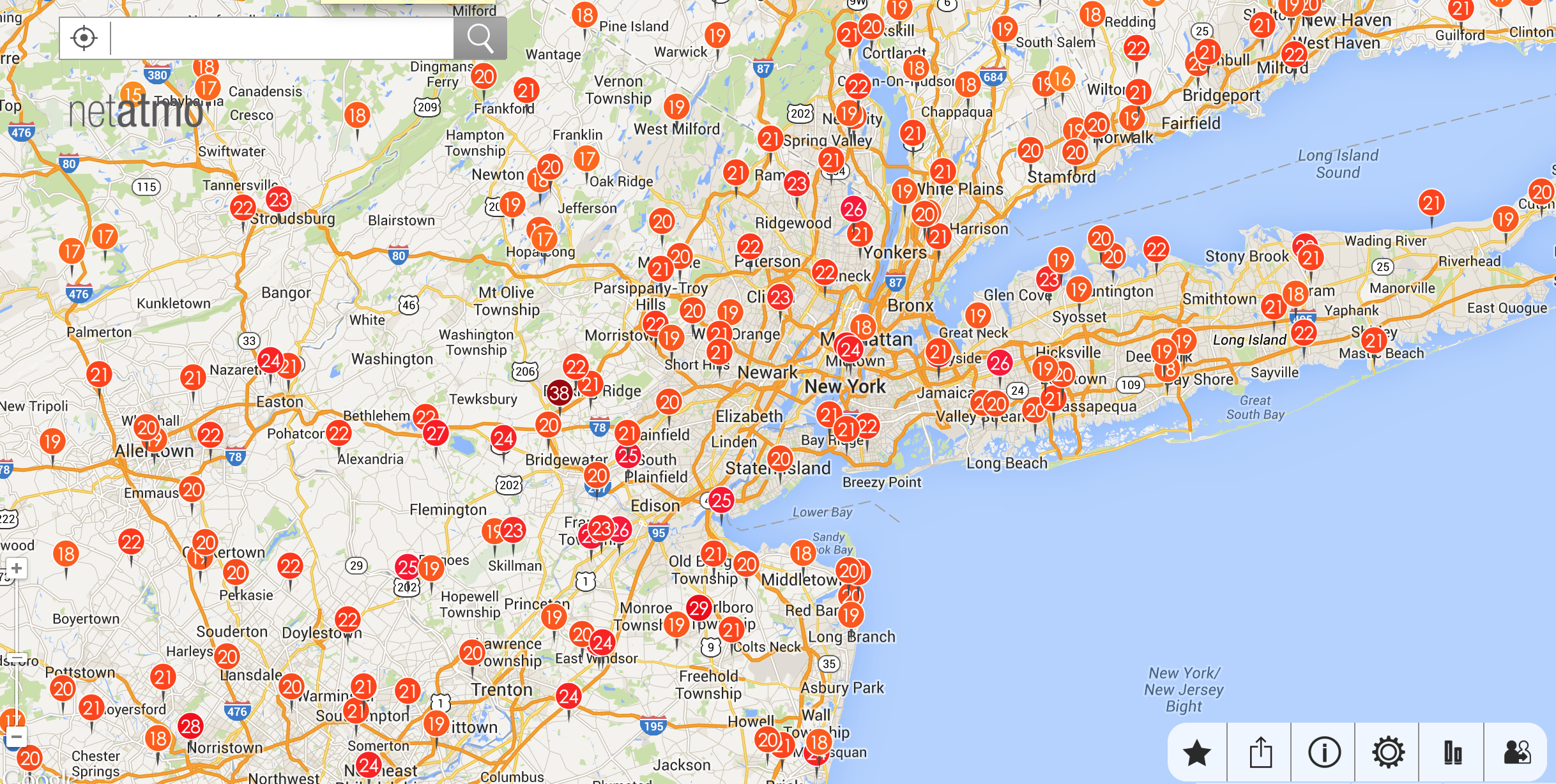
(I know that that figure does not show the entire world!) or zoom in to street level data:
On the website https://dev.netatmo.com you can sign up for a developer account which gives you access to the API of netatmo. In this post I am going to show how to access the data with Mathematica. When you sign up for a netatmo developer account you will be issued a client id and a client secret. These are rather long strings. You will also get a username and a password for your account. Next you need to request an access token, which you can do via the following command:
curl -X POST -d "granttype=password&clientid=AAAAAAAAAAAAAAAAAAAA&client_secret=BBBBBBBBBBBBBBBBBBBBBBBBBBBBBBBBBBBBBBBBBB &username=XXXXXXXXXXXXXXXX&password=YYYYYYYYYYYYYYY&scope=read_station" http://api.netatmo.net/oauth2/token ~/Desktop/request-token.txt
On a Mac I generate a file called netatmo.sh containing that string on the desktop; I obviously substitute AAAAAAAAAAAA by the client id, BBBBBBBBBBBBBBBB by the client secret, XXXXXXXXXXXX and YYYYYYYYYY by the user name and the password. Then I use the terminal command
chmod a+x netatmo.sh
The rest is child's play. We need to execute the command
Run["~/Desktop/netatmo.sh"];
data = Import["https://api.netatmo.net/api/getpublicdata?access_token="<>Last[StringSplit[Import["~/Desktop/request-token.txt", "CSV"][[1, 1]], "\""]] <>
    "&lat_ne=59.91&lon_ne=13.75&lat_sw=40.42&lon_sw=-20.0&filter=True", "Text"];
Note that the numbers following latne, lonne, latsw, lonsw are the north east and south west latitudes and longitudes. If we want to request data for other regions we can do so by changing these entries. Next we clean the data a little bit:
tab = Quiet[
Select[Select[Table[ToExpression /@ Flatten[StringSplit[#, "]"] & /@ StringSplit[#, "["] & /@
If[Length[StringSplit[StringSplit[data, "place"][[k]], ","]] > 12, Drop[StringSplit[StringSplit[data, "place"][[k]],","], {5}],
StringSplit[StringSplit[data, "place"][[k]], ","]]][[{2, 3, 7, 8, 15}]], {k, 2, Length[StringSplit[data, "place"]]}], Length[Cases[Flatten[#], $Failed]] == 0 &  ], Length[#] == 5 &]];
That does look a bit cryptic but gives us what we want.
tab[[1]]
gives {10.5673, 59.8929, 13, 80, 1032.9}, wich are the gps coordinates, the temperature in Celsius, the humidity in % and the pressure in mbar. I will now propose three different representations of the data.
scaled = Rescale[tab[[All, 3]]];
GeoGraphics[Table[{GeoStyling[Opacity[0.99], RGBColor[scaled[[k]], 1 - scaled[[k]], 0]], GeoDisk[{tab[[k, 2]], tab[[k, 1]]}, Quantity[20, "Kilometers"] ]}, {k,1, Length[tab]}]]
which gives:
The second representation is calculated using
GeoRegionValuePlot[GeoPosition[{#[[2]], #[[1]]}] -> #[[3]] & /@ tab, PlotRange -> {0, 30}, ColorFunction -> "TemperatureMap", ImageSize -> Full]
which looks like this
Finally, the lengthy sequence of commands
surface = Interpolation[{{#[[1]], #[[2]]}, #[[3]]} & /@ tab, InterpolationOrder -> 1];
cPlot = Quiet[ContourPlot[surface[x, y], {x, Min[tab[[All, 1]]], Max[tab[[All, 1]]]}, {y, Min[tab[[All, 2]]], Max[tab[[All, 2]]]}, ImagePadding -> None,
ClippingStyle -> None, Frame -> None, Contours -> 60, ContourLines -> False, PlotRange -> {0, 30}, ColorFunction -> "TemperatureMap"]];
multipoly = Polygon[GeoPosition[Join @@ (EntityValue[EntityClass["Country", "Europe"], "Polygon"] /. Polygon[GeoPosition[x_]] :> x)]];
GeoGraphics[{GeoStyling[{"GeoImage", cPlot}], multipoly, Black, Opacity[1]}, ImageSize -> Full]
gives this representation
I am quite sure that with some modifications one can make a useful program out of this if one uses cloud deploy. Also, netatmo's data are updated every 30 minutes (every 5 minutes on the individual devices), so one can run a scheduled task and look at the development of the temperature. The large number of netatmo weather stations complements the data available from the Wolfram Data servers very nicely as they provide very up to date street level data.
I would be glad to see a good idea of a cloud deployed service based on this or any other ideas that you might have.
Cheers,
Marco


