Hi Luis,
I guess that in principle this works:
data = GeoElevationData[GeoDisk[Here, Quantity[10, "Miles"]]];
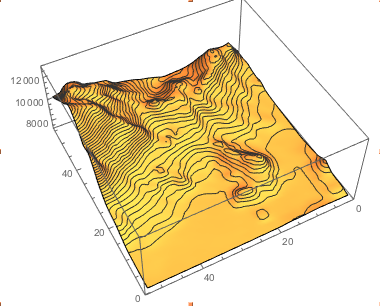
ListPlot3D[data, MeshFunctions -> {#3 &}, Mesh -> 40]
It tries to estimate your GPS coordinates from our IP address. Sometimes that doesn't work quite well. If you know your geoposition you can use an inline semantic input like so:

For your position this is:
data = GeoElevationData[GeoDisk[GeoPosition[{35227/1800, -7409/75}], Quantity[10, "Miles"]]];
ListPlot3D[data, MeshFunctions -> {#3 &}, Mesh -> 40]

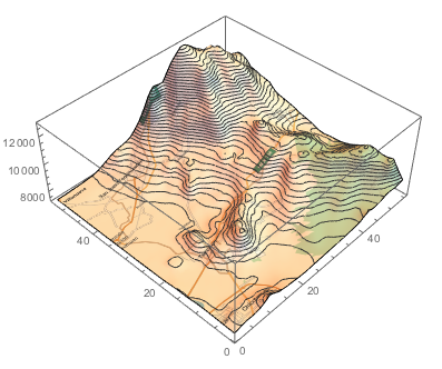
You can make this look a bit nicer like so:
img = Image[GeoGraphics[GeoBoundingBox[GeoPosition[{35227/1800, -7409/75}], Quantity[10, "Miles"]]]]
ListPlot3D[data, MeshFunctions -> {#3 &}, Mesh -> 40, PlotStyle -> Directive[Texture[img]]]

Cheers,
Marco