Hi James,
this is a useful link to a developers page on Factual. You will see that there is an incredibly detailed list of POIs. This here gives you a useful table:
Import["http://developer.factual.com/working-with-categories/index.html", "Data"][[1, 2, 6, 2 ;;]] // TableForm
On this website you will find (under Geographic Entities) what the Wolfram Language has built in.
Particularly for Factual it can be easy to loose track of what the categories are. The following might help.
searchtree =
StringSplit[#, ">"] & /@
Import["http://developer.factual.com/working-with-categories/index.\
html", "Data"][[1, 2, 6, 2 ;;]][[All, 2]];
searchtreeclean =
Table[If[StringTake[#, -1] == " ", StringDrop[#, -1], #] & /@
searchtree[[k]], {k, 2, Length[searchtree]}];
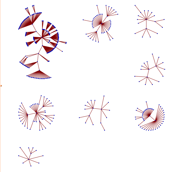
GraphPlot[
DeleteCases[
Join[(*DeleteDuplicates["Area"\[Rule] #&/@searchtreeclean[[All,
1]]],*)DeleteDuplicates[
If[Length[#] > 1, #[[1]] -> #[[2]]] & /@ searchtreeclean],
DeleteDuplicates[
If[Length[#] > 2, #[[2]] -> #[[3]]] & /@ searchtreeclean],
DeleteDuplicates[
If[Length[#] > 3, #[[3]] -> #[[4]]] & /@ searchtreeclean]], Null],
VertexLabeling -> Tooltip]
I hope that this helps.
Cheers,
Marco


