Great post and awesome 3D flight visualizations! Thanks for sharing.
W|A also provides a lot of info about flights, at least in the US. For example:
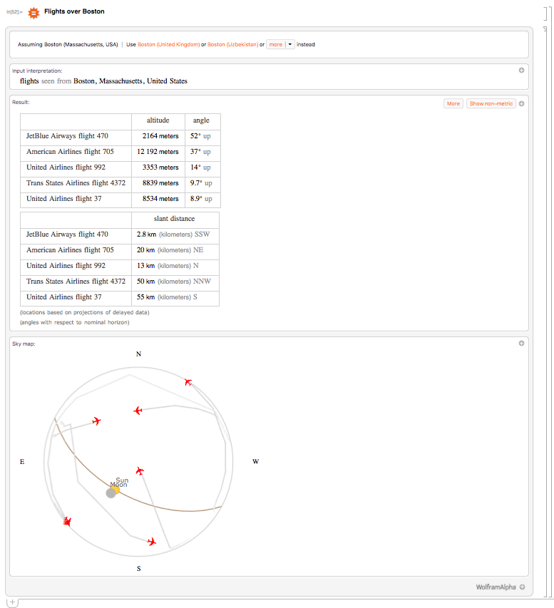
== Flights over Boston
Gives the following W|A result:
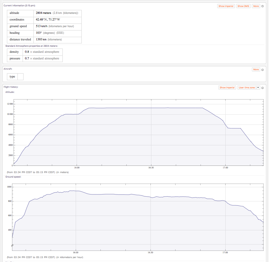
And looking closer to one of those flights gives even info about its "Altitude", "Flight Path", "Ground Speed", ...
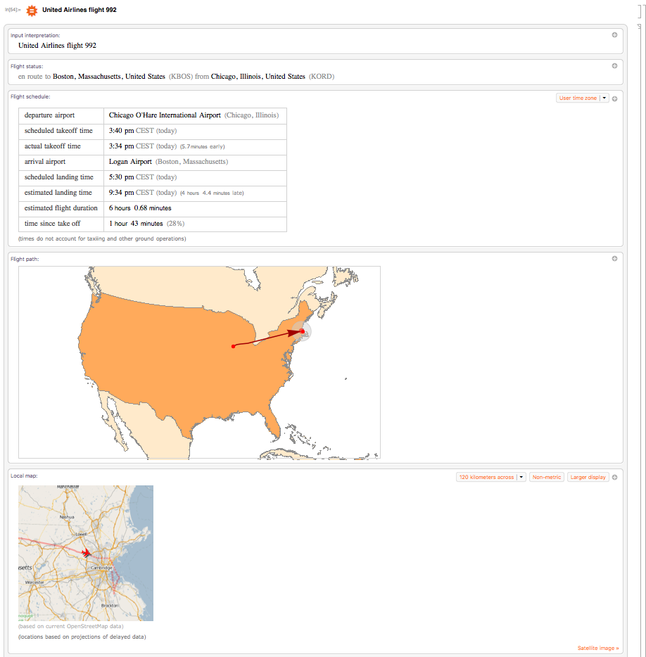
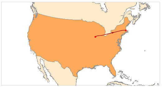
In particular, I'm interested in getting the "Flight path":
WolframAlpha["United Airlines flight 992", {{"Location:FlightData", 1}, "Content"}]
But my question is the following:
Can one get the coordinates from such a "Flight path" and plot it
using GeoPath in GeoGraphics?


