Message Boards Message Boards

Average colors of the world

Posted 2 years ago

POSTED BY: Jon McLoone
4 Replies

What a cool idea! I like GeoProjection->"WinkelTripel" at least for the world maps, so here is this version. I also wonder if the average color of satellite images depend on the time of the year when they are taken.

enter image description here

POSTED BY: Vitaliy Kaurov

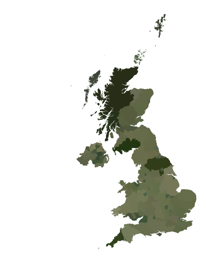
It takes a little more effort to get county level images for the UK...

GeoGraphics[({GeoStyling[Once[countryColor[#1]]], #1[ "Polygon"]} & ) /@ 
    Flatten[(#1["Subdivisions"] & ) /@ 
    Entity["Country", "UnitedKingdom"]["AdministrativeDivisions"]] /.        
    {RGBColor[_ImageMeasurements] :> None, {_, _Missing} :> Nothing}, 
GeoBackground -> None]

enter image description here

POSTED BY: Jon McLoone

Thanks for your interesting post. Here is the closeup on Japan.

GeoGraphics[{GeoStyling[Once[countryColor[#]]], #["Polygon"]}&/@ 
  EntityList[Entity["Country","Japan"]["AdministrativeDivisions"]], GeoBackground -> None]

enter image description here

POSTED BY: Kotaro Okazaki

enter image description here -- you have earned Featured Contributor Badge enter image description here Your exceptional post has been selected for our editorial column Staff Picks http://wolfr.am/StaffPicks and Your Profile is now distinguished by a Featured Contributor Badge and is displayed on the Featured Contributor Board. Thank you!

POSTED BY: Moderation Team
Reply to this discussion
Community posts can be styled and formatted using the Markdown syntax.
Reply Preview
Attachments
Remove
or Discard

Group Abstract Group Abstract