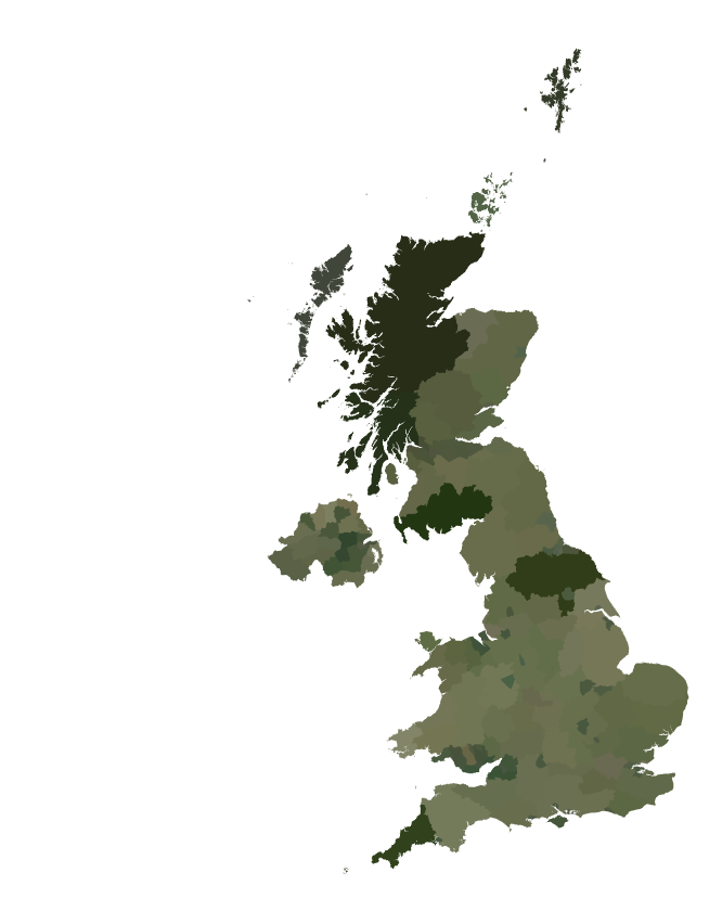
It takes a little more effort to get county level images for the UK...
GeoGraphics[({GeoStyling[Once[countryColor[#1]]], #1[ "Polygon"]} & ) /@
    Flatten[(#1["Subdivisions"] & ) /@
    Entity["Country", "UnitedKingdom"]["AdministrativeDivisions"]] /.
    {RGBColor[_ImageMeasurements] :> None, {_, _Missing} :> Nothing},
GeoBackground -> None]
